08. July. 2017.
Gran Trail Courmayeur in a trailrunning event which course goes on panoramic paths next to the Mont Blanc, sometimes on the UTMB course, starting and finishing in Courmayeur, Italy. Its longest course is 105 km long and the heightdifference is 7000 m and the runners have 30 hours to reach the finish. The race can be found in the calendar of ITRA (International Trail Running Association) and ITRA gives 5 points for the finish of this race that shows it’s a hard race.
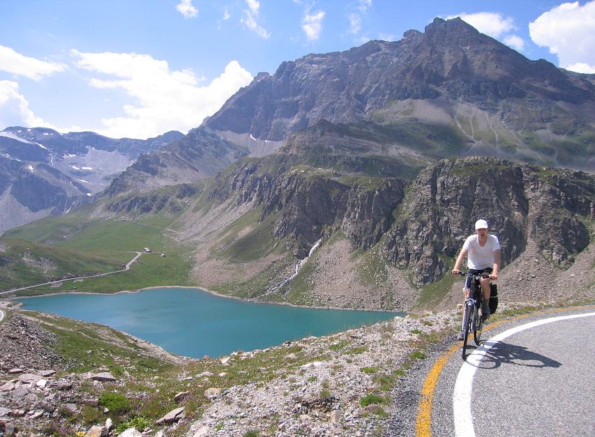
Its course first goes in the lightly descending valley to Pre St. Didier, then on the panoramic mountainside above La Thuile towards Rifugio Deffeyes (2494 m). This section gives great views to the landscape around Col du Petit St Bernard and farther to the Mont Blanc . After descending to La Thuile the route goes up in a long valley and then on mountainside and ridge above 2800m and then to Mont Fortin just opposite of Mont Blanc. Running on the ridge there are wonderful views to Mont Blanc. After leaving the Col de la Seigne (2512 m) – that is visited by Ultra trail du Mont Blanc = UTMB) every year – the path goes in the Val Veny before climbing up to ski stations of Mont Chetif just before the steep descent to Courmayeur. The 75 km course finished here, but we had another 30 kms to run. After leaving the alpine village a steep, hard climb has to be climbed (to Rifugio Bertone) that was followed by a great running path towards Rifugio Bonatti. The last two climbs (one of them is Col du Sapin (2436 m)) is situated around the height of 2500 m, from where the runners have to descend on sometimes very steep slopes to the finish of Courmayeur (Dolonne).
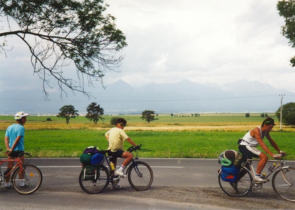
At 7 am. 8th July 2017. we left Courmayeur in very peasant weather wearing short running trousers and jerseys. After running through the pedestrian zone we descended on the main street just opposite of the Mont Blanc: what a start ! After leaving the last houses of Dolonne the path went along a stream and we were running in the forest to Pre St. Didier. When we started the 1st climb the runners followed each other so there was hardly any opportunity to overcome others on the path till the height of ca. 1300 m. As there were chances to enjoy the views to the Mont Blanc I stopped to take photos. Above 1700-1800 m I knew the route because I ran La Thuile trail a week before and for 5 km long the course of both races were the same. As we ascended and ran higher and higher more and more beautiful panorama we could enjoy: to the mountains around the whole valley and to the snowy Mont Blanc. The path was great: if it wasn’t too steep it was runnable.
I reached Rifugio Deffeyes (2494 m) at 11:36 am. (23,6 km + 213 heightdiff.) where chip was read and the 2nd refreshment point offered food and drink and water / iso to refill our bottles. There were cakes, cookies, chocholate, dried fruit, orange, banana and drink.
We had to descend ca. 1000 m heightdifference to La Thuile: most part of this sections was runnable, someteimes little bit technical, but not bad. I ovecame few runners and reached others by the first houses of La Thuile. We reached the village on the right side of the stream, while a week ago we ran to La Thuile on the left side of that.
After (trail)running 31,8 kms (and 2074 m heightdifference ) I checked in at the La Thuile at 1:27 pm. I may spent there 20 minutes, I ate cookies, dried fruit and enjoyed the melon.
After La Thuile a long climb had to be ascended towards the highest point (2863 m ?) of the course. In the 1st km we ran along the Pre St. Didier – la Thuile valley and saw the cars down, after it the course went on a paved, then dirt road for a while, where sometimes I ran for a while. After a grassy long ascent the route went along a panoramic ridge just opposite of the Mont Blanc massive. Sometimes we had amazing views, panorama. On not too steep sections the path was good for running. Climbing a little bit on a dangerous section on the very steep mountainside we reached the highest point of the ultratrail and after a little bit of descending and ascending we arrived at the Mont Fortin refreshment point (6:08 pm.), just opposite of the Mont Blanc. It was wonderful !
The following part of the course consisted of not too long descents and ascents and a snowfiled to cross; during it we saw marmottes. Col de la Seigne (2512 m) was the western point of the route after 53,7 km + 3945 m. This pass is also visited by the UTMB, the legendary ultratrail around the Mont Blanc.
I was happy to read on an information table that Rifugio Elisabetta can be reached within 30 minutes (if I run), so I was surprised when the signs of the course showed we had to turn left and go up and up.... It’s true I didn’t know every sections, climbs of the route. That section’s last km was unpleasant: went on rocks, I couldn’t recognise path, only the flags = signs. The descent after Colle delle Piramidi Calceree (2622 m) started also unpleasant rocky path that didn’t help to run, but as the path went next to the steep mountainwalls of the Mont Blanc and the gleciers was close, I understood why the course chose that path, valley. At last I arrived at Rifugio Elisabetta not much after 9 pm. where – at last – I put on new socks onto my feet. Ca. 5 minutes of steep descending I could go on running in the very lightly descending valley for a ca. 3 km long section, till the following climb that I had to start after putting on my headlights. The climb was average steep, the signs were great because
of reflective layer on them.
My best of video: :
I overcame two runners on the ascent and the friendly path let me run towards the following refreshment point. The weather was pleasant, the temperature was around 20 degrees Celsius before 11 pm., but didn’t decrease under 17 degrees Celsius during the night although we ran above 1800-2000m. Unfortunately light clouds arrived so the fullmoon couldn’t light the terrain, the path.
After the Maizon Vieille refreshment point I thought the descent starts immediately, but I had to walk (upwards) / run minimum a quarter an hour to reach the descent. In the beginning it was dusty and steep, and unfortunately long sections remained dusty, so I often felt the dust in the air as I ran downwards on the sperpentine-path.
Just before Courmayeur I overcame two runners, but as I remember they finished their 75 km long course, while I had to run 30 kms to reach the finish line. I spent 30 minutes by the refreshment point where we got pasta too. After leaving the last houses of Courmayeur behind the ascent remained not too steep and beame steep above ca. 1400 m (?). I thought I would climb alone in the forest till Rifugio Bertone, when – unexpectedly – I saw the headlights of an other runner. Till then I rarely met runner who overcame me in the last third of the field, so I climbed upwards at a good speed to keep the runner behind me. That was the only section where I „competed”. I reached Rifugio Bertone (79,9 km + 5747 m) at 3:08 am. and spent there ca. 12-15 minutes. As every refreshment point / station, it offered ca. the same food and drink than the others.
The following section was light with not much ascents, but the path often was runnable. At a place I realised that I was just at that wonderful place about that a stunning photo was taken into an article about trailrunning around the Mont Blanc. Unfortunately it was dark. Towards Rifugio Bonatti it started raining twice, but the rains didn’t last too long. I reached the following refreshment points at around sunset, but the clouds didn’t let me enjoy the sunlights. One long (Pas Entre Deus Sauts, 2524 m) and a short climb has to be ascended to start the last descent to the finish. Its lower section ws boring and I had no idea which saddle would be our pass, but after a while it could be seen ... and it started raining. For a while I saw that the clouds showed it would be raining and unfortunately it happened. The air temperature soon decreased and in ca. 20 minute time my hands felt cold. I enjoyed how the raintrousers and raincoat kept me warm and I was surprised to see two runners going in short trousers instead of put on long trousers. The serious wind and rain decreased the temperature very much and caused such bad weather that motivated the runners to go downwards as fast as they could. Fortunately not much after the 2nd pass the wind „went away” and the rain intensity decreased and than it stopped raining. On the descent within few minutes I fell down and slipped again, so I realised to run careful. Fortunately the path didn’t become too slippery, that was our fortune !
On the last pass, saddle I thought I could reach the finish inside 25 hours of running, but between 2000 m and 1500 m the route contained several short climbs that caused that I had no chance for the „inside 26 hours” time. The descent also contained a very steep sections that has no hairpin bends – it was a real surprise!
After reaching the first houses of Courmayeur I often ran on the road (it was raining again). Because of the rainy weather there wasn’t too many people on / along the roads, so it has other feeling than closing to the finish time in sunshine. I finsihed with the time of 26 hours and 18 minutes (during it I recorded more than 90 minutes of video), I enjoyed this wonderful race very much and that’s much more important for me than my time.
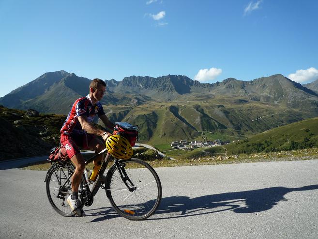
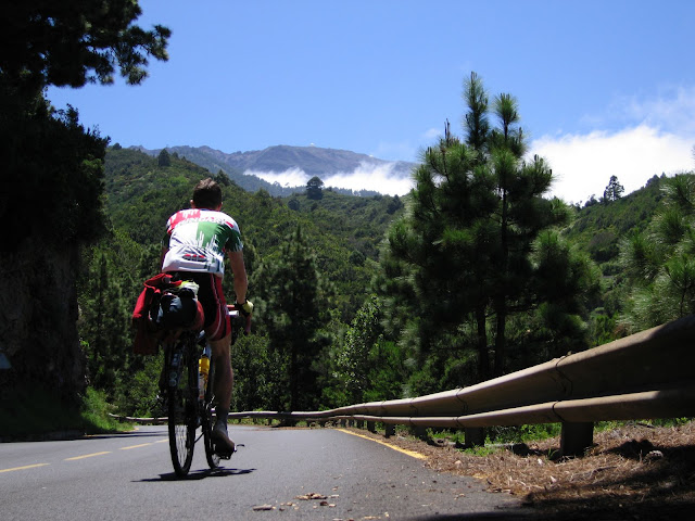
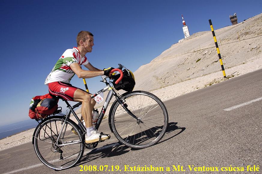
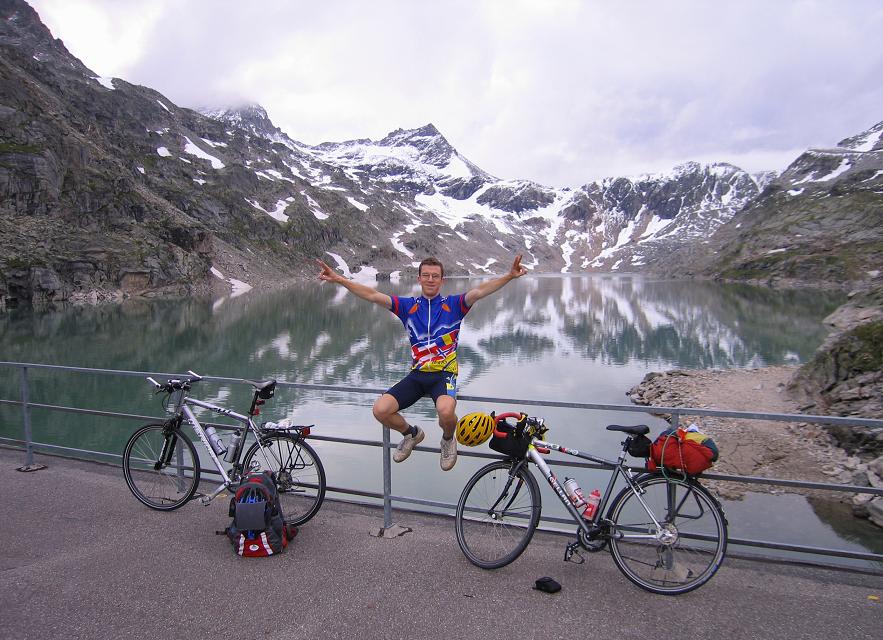
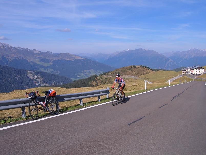
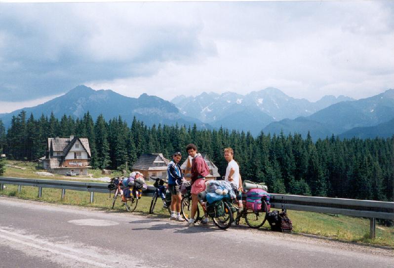
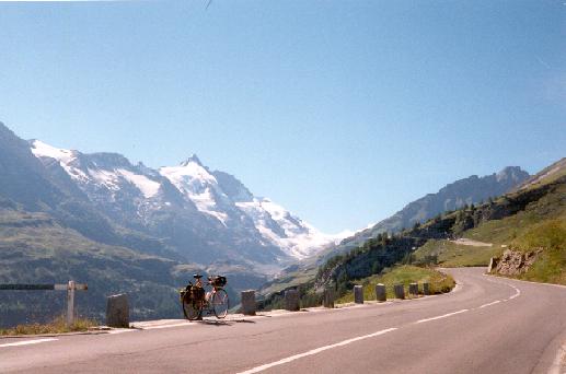
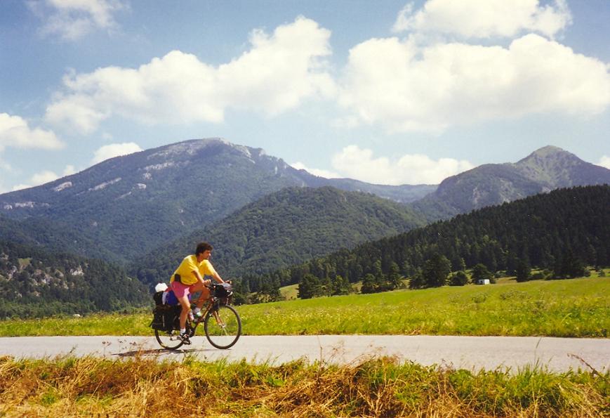
During my two week long bicycle tour around the Mont Blanc containing 3 occasions and two races of trailrunning next to this high mountain I had to say: I fell in love trailrunning in the Mont Blanc area .
(by the way: after finishing this race in time I had 15 points from 3 races, so I got right to register for the legendary UTMB, the Ultra Trail du Mont Blanc (ca. 170 km + 10000 m heightdifference). Now I’m not sure to register for that race but I may register for TDS: Sur les Traces des Ducs de Savoie.
At last: Congratulations for the race organisers; Gran Trail Courmayeur is a fantastic, stunning race; the course is amazing and the signs of the route as the refreshment points were also perfect. I love this race !
PS: the runners got an official race jersey in the starting package, while the finishers got a finisher gift, that was a Gran Trail Courmayeur Finisher headband.
")
")
")
")
")
")
")
")
")
")
")
")
")
")
")
")